


Rodeo Trail Voting District, Okanogan County, Washington
About
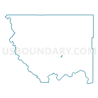
Outline

Summary
| Unique Area Identifier | 687689 |
| Name | Rodeo Trail Voting District |
| County | Okanogan County |
| State | Washington |
| Area (square miles) | 0.68 |
| Land Area (square miles) | 0.61 |
| Water Area (square miles) | 0.07 |
| % of Land Area | 89.47 |
| % of Water Area | 10.53 |
| Latitude of the Internal Point | 48.36460180 |
| Longtitude of the Internal Point | -119.57367170 |
Maps


Graphs
Select a template below for downloading or customizing gragh for Rodeo Trail Voting District, Okanogan County, Washington


Neighbors
Neighoring Voting District (by Name) Neighboring Voting District on the Map
- Elmway Voting District, Okanogan County, WA
- Okanogan 1 Voting District, Okanogan County, WA
- Okanogan 12 Voting District, Okanogan County, WA
- Okanogan Rural Voting District, Okanogan County, WA